

17 Jul 2025, By Temel Rızza | Civil Engineer
As one of the regions in the eastern Mediterranean most affected by climate change, Cyprus is facing serious resource management challenges. Rising temperatures, uneven rainfall, and mounting urbanisation pressures demand a new approach to managing water, land, and financial resources, one that is efficient, traceable, and integrated. This is where Geographic Information Systems (GIS) emerge not merely as a technical tool, but as a cornerstone of climate-resilient and cost-effective infrastructure planning and management. Today, infrastructure governance is undergoing a major transformation with the rise of digital technologies. Inter-agency coordination, planning, fault response, and resource allocation are increasingly being reshaped through data-driven systems. Among the most powerful of these tools is GIS, not just a platform for visualising data on maps, but a vital management system that supports informed decision-making, proactive planning, and timely intervention.
Unlocking the Power of GIS: Key Benefits for Public Services
1. Data Sharing and Transparency: GIS enables the consolidation of all infrastructure-related data into a centralized system. When utilities such as water, sewage, fiber optics, telephone, and electricity lines are visualised on digital maps, all institutions can work from the same reference point. This helps avoid unnecessary groundworks, inter-agency conflicts, and redundant work.
2. Business Continuity and Rapid Response: In the event of a malfunction, GIS allows instant access to critical information such as pipeline routes, valve locations, pressure nodes, network connections, and historical maintenance records. This accelerates intervention times and improves service quality for the public.
3. Reduction of Losses: GIS enables utilities to detect leaks early, analyse water loss patterns, and map the areas affected in real time. This capability is particularly vital for drinking water networks, where timely action can prevent the loss of hundreds of thousands of cubic meters of clean water.
4. Planning and Budget Management: GIS provides a reliable basis for analysing infrastructure needs in new developments, assessing the capacity of existing networks, and setting investment priorities. This enables institutions to make well-informed, data-driven decisions for long-term budget planning.
5. Institutional Memory: Staff changes no longer result in the loss of critical operational knowledge. With GIS, all infrastructure data, both technical specifications and visual documentation, are securely and permanently archived in a digital environment, ensuring continuity and organizational resilience.
6. Time and Resource Efficiency: By enabling early coordination, GIS helps prevent redundant infrastructure works, avoid unnecessary road closures, and reduce labor inefficiencies, saving both time and resources across infrastructure projects.
While the implementation of GIS may initially present a few challenges, these can be effectively overcome with a strategic and well-structured approach. Upfront investments may be required for software, hardware, and staff training, and existing data often needs to be updated and standardised. Institutions may also face legal or technical obstacles in data sharing, along with a limited pool of qualified personnel. Yet, when compared to the long-term technical, financial, and operational advantages that GIS offers, these challenges are inor in scale. With proper planning and inter-agency coordination, they can be addressed efficiently clearing the path toward smarter, more sustainable infrastructure management.

The Malta Example: Effective Use of GIS in Island Contexts
Since the 1990s, Malta has been a leading example of how Geographic Information Systems (GIS) can be used effectively across all public services in small island nations. The country’s water authority, sewerage agency, municipalities, and telecom providers all operate on a shared GIS platform. This unified system enables centralised monitoring of infrastructure investments and allows for much faster response to faults and breakdowns.
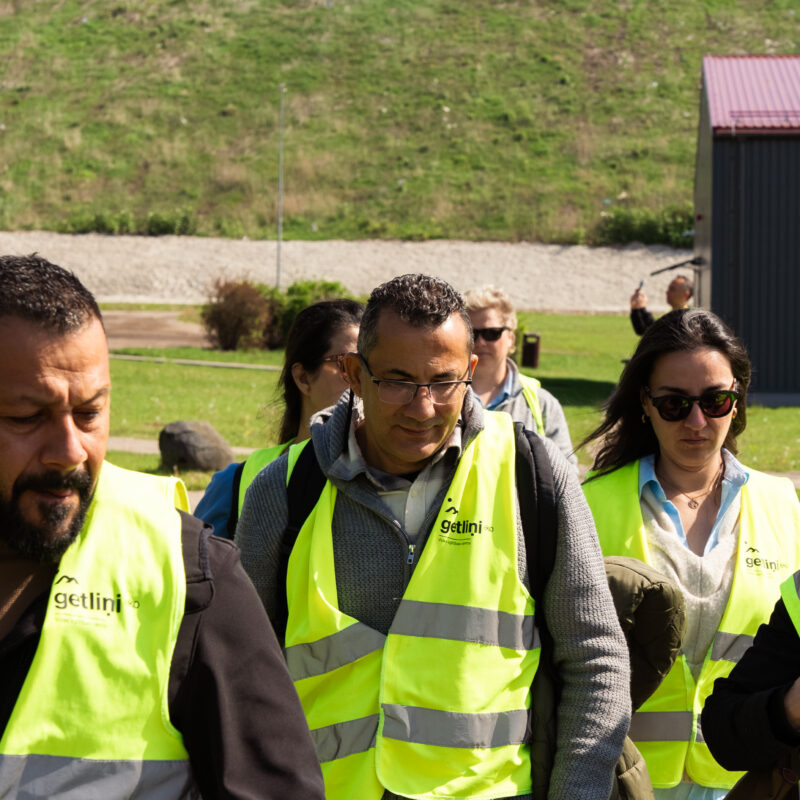
During a recent technical study visit from Cyprus to Latvia, we observed how GIS is being used across a wide range of sectors, from nature conservation and port operations to forest planning and solid waste management, to strengthen environmental decision-making processes. At the Freeport of Riga, real-time monitoring systems allow for the continuous tracking of emissions, noise, and water pollution. This ensures that even high-intensity industrial zones like ports can operate in harmony with urban life. In the Riga city forests, GIS-based functional zoning supports the integrated management of carbon sinks, recreational areas, and biodiversity conservation zones. At the Getliņi Eko landfill, GIS data is used to optimise the tracking of waste flows, the planning of biogas production, and the siting of composting areas. These applications offer powerful models that can help the Turkish Cypriot community advance its goals in integrated environmental governance and the circular economy.
6 Practical Steps to Promote GIS Use in the Turkish Cypriot Community
1. Develop a GIS Strategy: Establish a roadmap that includes all relevant institutionsn and defines shared data formats and standards.
2. Launch a Pilot Project: Implement a pilot GIS integration for water, sewage, electricity, and internet infrastructure in a selected city such as Nicosia or Famagusta.
3. Provide Training to Staff: Organise basic and advanced GIS training sessions for technical teams, and build capacity among municipalities and relevant institutions.
4. Collect and Digitise Data: Transfer existing paper-based and field data into digital formats and map out data gaps.
5. Establish Inter-Agency Cooperation Protocols: Build cooperation protocols among municipalities, public agencies, and private sector partners to support data exchange and integrated planning efforts.
6. Engage the Public Through Visual Platforms: Use GIS-based web maps to share real-time information with citizens—such as air pollution levels, water outages, or service disruptions—especially during critical events.

GIS: An Investment in Sustainability
In the Eastern Mediterranean, where the effects of the climate crisis are becoming more severe with each passing year, data-driven systems like Geographic Information Systems (GIS) offer a strategic advantage. With GIS, it becomes possible to plan more effectively in the face of rising temperatures, urbanisation pressures, and increasing water stress. Expanding the use of these systems is not merely a technical choice; it is a long-term investment in resilience and sustainability, one that protects both our natural and financial resources.
In this context, promoting GIS adoption is a valuable opportunity to support sustainable infrastructure management, improve resource efficiency, and ensure greater transparency in public services. A unified GIS approach is essential for the integrated management of vital infrastructure systems such as water, sewerage, telecommunications, fibre optics, and electricity. To secure a more sustainable future, these steps must be implemented today.
Temel Rızza
Discover MoreThe content of this blog is the sole responsibility of the author and do not necessarily reflect the views of the European Union.